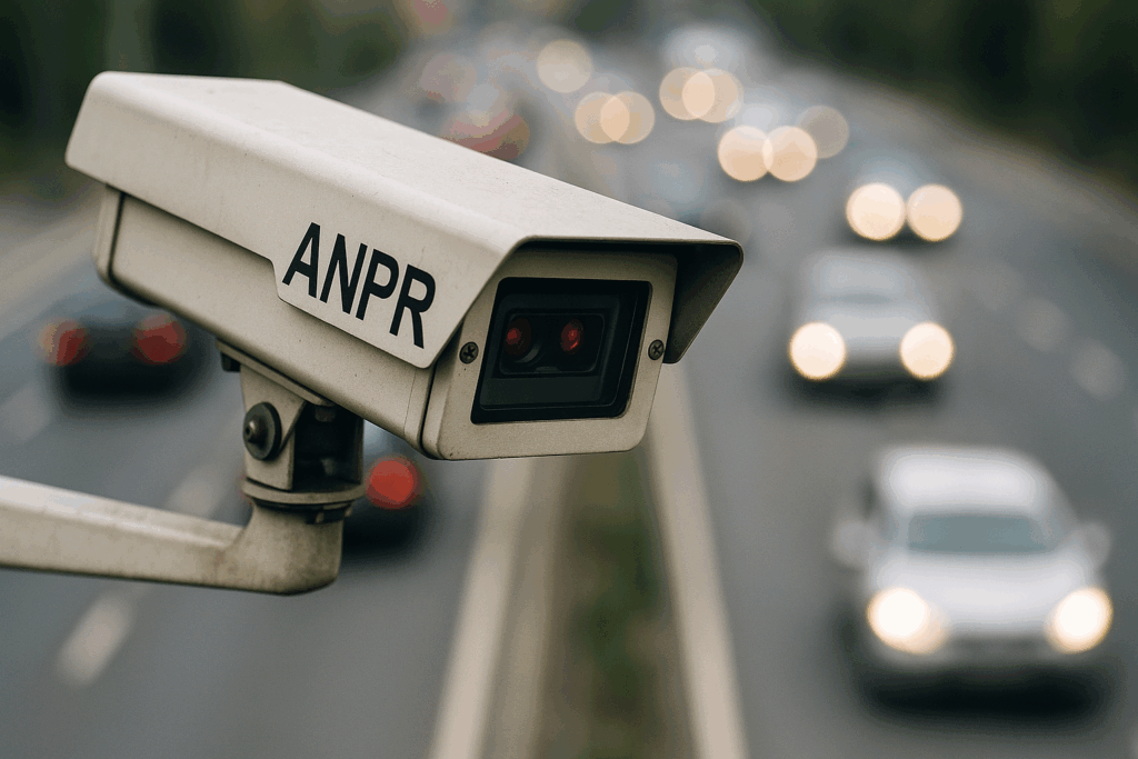
Automatic Number Plate Recognition surveys to capture vehicle number plates for origin-destination studies, journey time analysis, car park usage, and compliance monitoring (e.g. identifying through-traffic or repeat visitors).
Manual or video-based traffic counts classified by vehicle type (e.g. cars, HGVs, buses, cyclists) and turning movements at junctions.
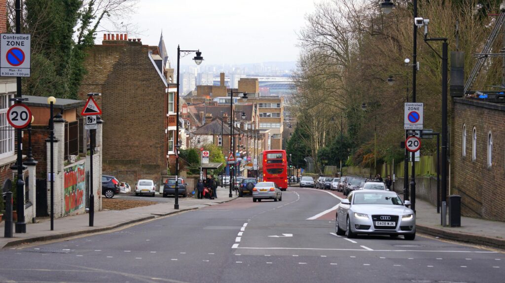
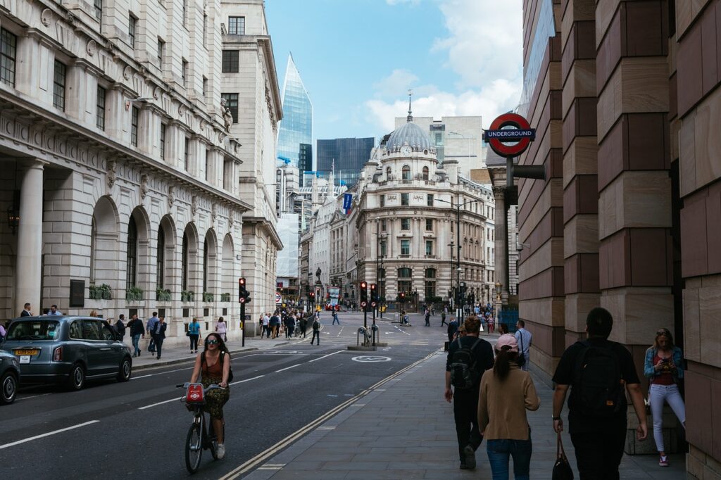
Integrated surveys capturing all modes of travel (vehicles, pedestrians, and cyclists) to provide a complete picture of road and transport use.
Observational surveys (video or in-person) measuring pedestrian and bicycle volumes at crossings, footfalls on paths, and usage of cycling infrastructure.
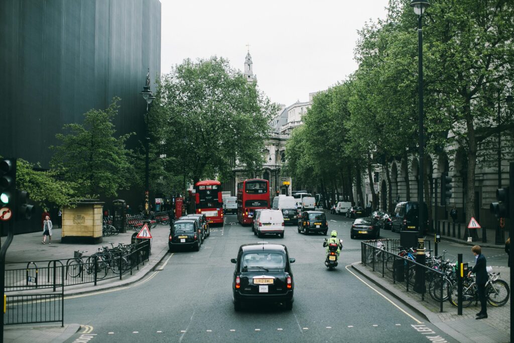
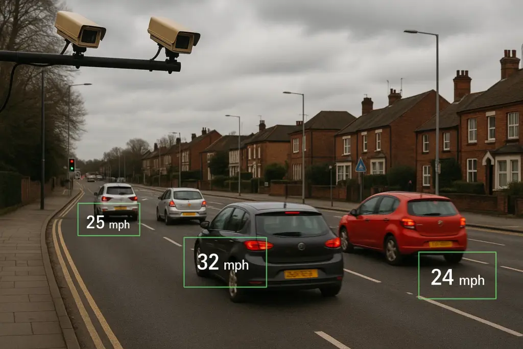
Measurement of vehicle speeds using ATC equipment or video-based methods. We conduct speed surveys to evaluate speeding issues, traffic calming effectiveness, and compliance with speed limits for road safety assessments.
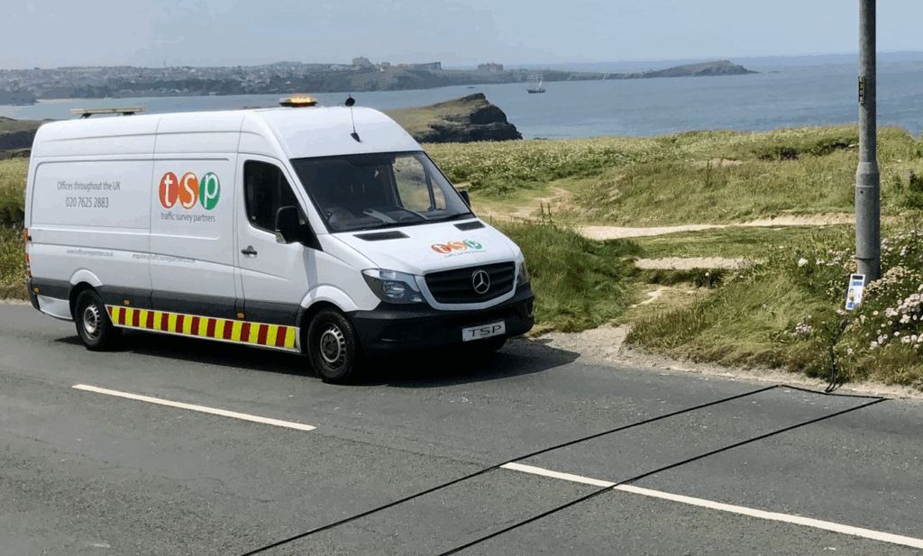
Installation of automatic traffic counters (road tube, radar, or video ATC devices) for continuous volumetric counts and speed/classification data over defined periods.
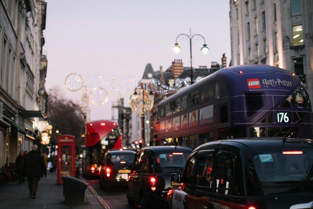
Data collection on public transport usage, such as bus occupancy counts, rail station entry/exit counts, boarding/alighting surveys, and following pedestrian movements to analyze how people access transit.
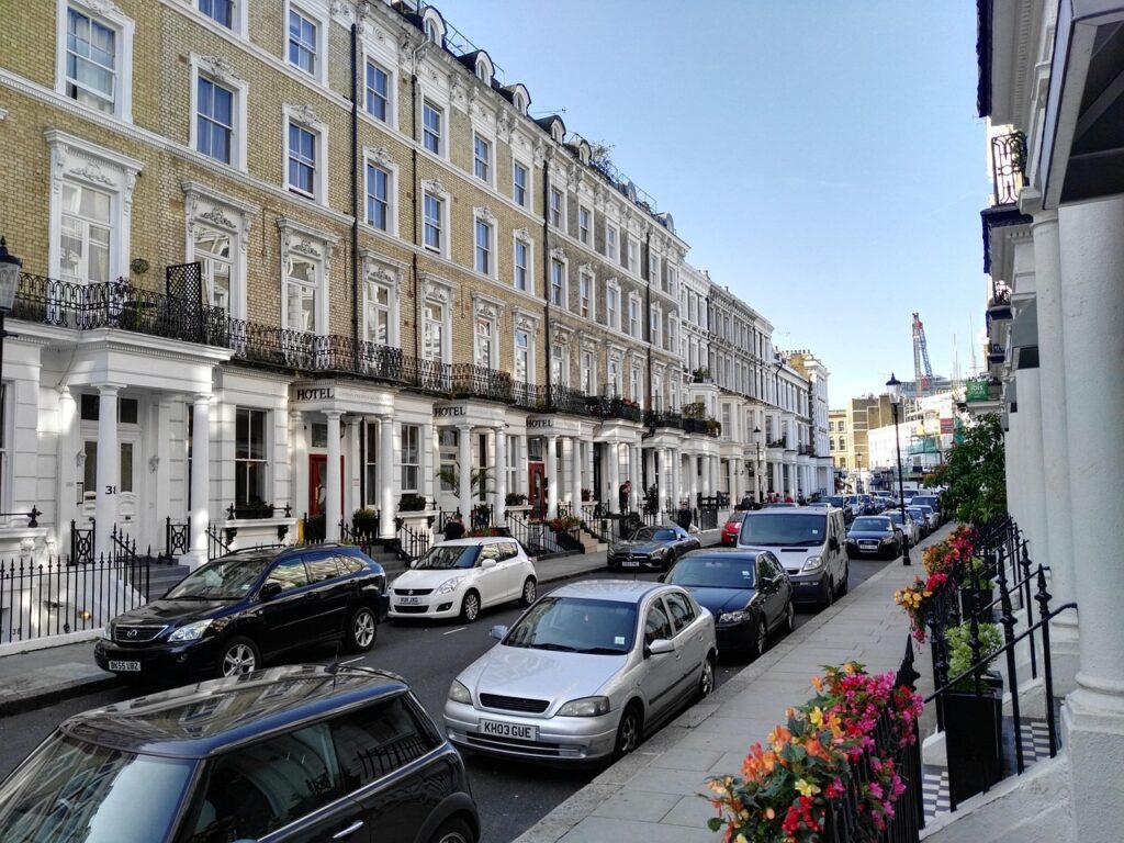
Studies of parking demand and patterns, including on-street parking occupancy, car park usage, duration of stay, turnover rates, and beat surveys to support parking policy and management.
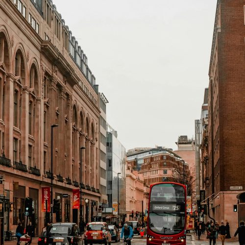
Travel time and delay surveys collected using the “floating car” method, supported by GPS tracking to measure journey times and network delays accurately along specific routes. This provides vital data for congestion studies and journey reliability analysis.
Multi-modal occupancy counts, determining how many people are in vehicles or public transport vehicles. These surveys help calculate car occupancy rates, high-occupancy vehicle usage, or crowding levels on public transport.

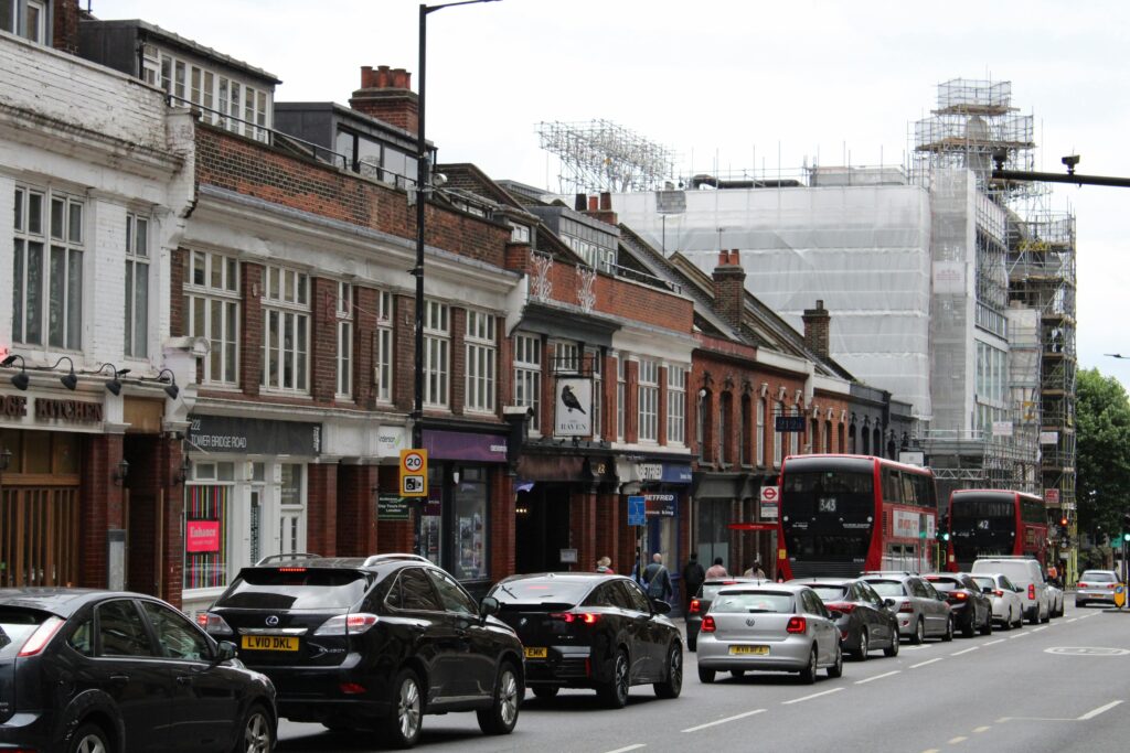
Recording of queue lengths at junctions (often via video or manual observation) and signal timing information to assess intersection performance, saturation, and to calibrate traffic models.
Specialized junction capacity surveys measuring saturation flow rates and the Degree of Saturation at signalised intersections, used to evaluate how well junctions handle traffic demand.

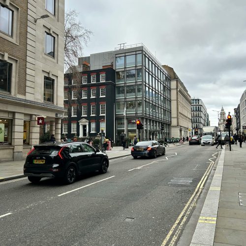
Checking and documenting the display of street notices (for example, public consultation or road closure notices) to ensure compliance with requirements, including timing and visibility of notices on site.
Route User Intercept Surveys, where survey staff interview or count users (such as pedestrians and cyclists) on specific routes, often on traffic-free paths or trails, to gather data on usage patterns and user feedback.
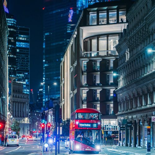
TSP delivers safe and accurate aerial surveys using the DJI Mavic 2 Pro, operated by fully qualified GVC pilots under CAA Operational Authorisation (PDRA-01). Backed by £5 million public liability insurance, our drone services provide efficient and compliant data capture for traffic and site monitoring.

©2025 by Traffic Survey Partners.
London
Traffic Survey Partners
TSP House
Wellesley Court
Apsley Way
London, NW2 7HF